Coulter from Snaip Hill
Introduction
The photograph on this page of Coulter from Snaip Hill by Jim Barton as part of the Geograph project.
The Geograph project started in 2005 with the aim of publishing, organising and preserving representative images for every square kilometre of Great Britain, Ireland and the Isle of Man.

There are currently over 7.5m images from over 14,400 individuals and you can help contribute to the project by visiting https://www.geograph.org.uk
Coulter from Snaip Hill
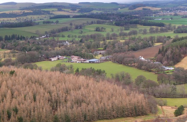
Image: © Jim Barton Taken: 31 Jan 2020
The plantation on Culterpark Hill is in the foreground. The building with the pale green roof (centre) is the primary school.
Images are licensed for reuse under creativecommons.org/licenses/by-sa/2.0
Image Location
Latitude
55.588033
Longitude
-3.549267