The valley of Southwick Burn
Introduction
The photograph on this page of The valley of Southwick Burn by Christine Johnstone as part of the Geograph project.
The Geograph project started in 2005 with the aim of publishing, organising and preserving representative images for every square kilometre of Great Britain, Ireland and the Isle of Man.

There are currently over 7.5m images from over 14,400 individuals and you can help contribute to the project by visiting https://www.geograph.org.uk
The valley of Southwick Burn
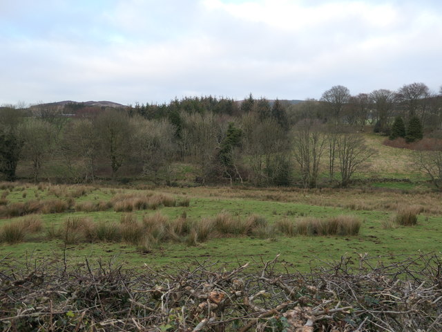
Image: © Christine Johnstone Taken: 22 Jan 2020
Rough grassland and trees, with a square plantation beyond.
Images are licensed for reuse under creativecommons.org/licenses/by-sa/2.0
Image Location
Latitude
54.916318
Longitude
-3.70589