Waukmill Steading
Introduction
The photograph on this page of Waukmill Steading by valenta as part of the Geograph project.
The Geograph project started in 2005 with the aim of publishing, organising and preserving representative images for every square kilometre of Great Britain, Ireland and the Isle of Man.

There are currently over 7.5m images from over 14,400 individuals and you can help contribute to the project by visiting https://www.geograph.org.uk
Waukmill Steading
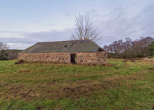
Image: © valenta Taken: 4 Jan 2020
The steading is relatively well preserved, apart from the right-hand corner where the roof has fallen in. The nearby croft house Image] has faired less well. Both buildings appear on the first 25" OS map of 1866
Images are licensed for reuse under creativecommons.org/licenses/by-sa/2.0
Image Location


Leaflet Map data © OpenStreetMap
Latitude
57.530911
Longitude
-3.798481