Old Milestone by the A4069 in Gwaun-Cae-Gurwen
Introduction
The photograph on this page of Old Milestone by the A4069 in Gwaun-Cae-Gurwen by Kirstie Hackett as part of the Geograph project.
The Geograph project started in 2005 with the aim of publishing, organising and preserving representative images for every square kilometre of Great Britain, Ireland and the Isle of Man.

There are currently over 7.5m images from over 14,400 individuals and you can help contribute to the project by visiting https://www.geograph.org.uk
Old Milestone by the A4069 in Gwaun-Cae-Gurwen
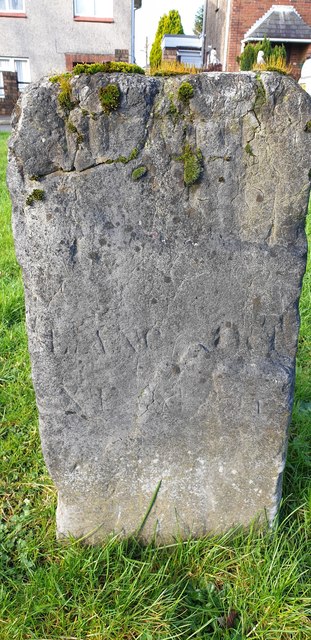
Image: © Kirstie Hackett Taken: 28 Jan 2020
This old milestone is on the west of the A4069 on a wide grass verge between the A road and Maesywerin. Old-maps up to 1953 show the MS on the opposite side of the road. Inscription unclear but once read:- : (LLANGADOCK 14 / NEATH 11) : Milestone Society National ID: GLA_NTLG11
Images are licensed for reuse under creativecommons.org/licenses/by-sa/2.0
Image Location
Latitude
51.793477
Longitude
-3.88376