Grain Crossing
Introduction
The photograph on this page of Grain Crossing by Richard Dorrell as part of the Geograph project.
The Geograph project started in 2005 with the aim of publishing, organising and preserving representative images for every square kilometre of Great Britain, Ireland and the Isle of Man.

There are currently over 7.5m images from over 14,400 individuals and you can help contribute to the project by visiting https://www.geograph.org.uk
Grain Crossing
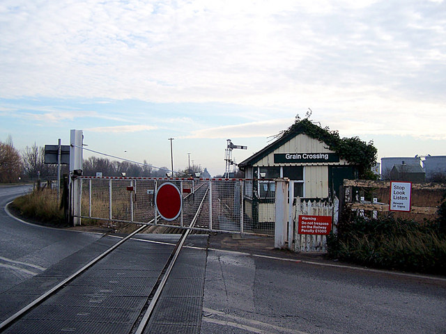
Image: © Richard Dorrell Taken: 22 Dec 2007
This level crossing has manually operated gates. Stoke crossing, a mile or so to the west, is automated. The line is freight only. A couple of trains of containers travel to and from nearby Thamesport each day.
Images are licensed for reuse under creativecommons.org/licenses/by-sa/2.0
Image Location
Latitude
51.44631
Longitude
0.679545