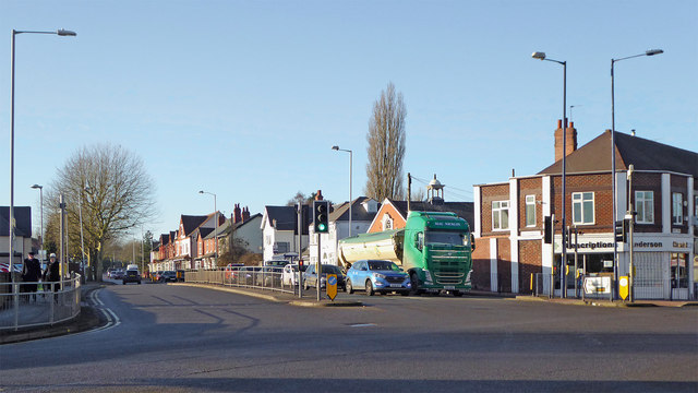
Goldthorn Hill in Wolverhampton
Introduction
The photograph on this page of Goldthorn Hill in Wolverhampton by Roger Kidd as part of the Geograph project.
The Geograph project started in 2005 with the aim of publishing, organising and preserving representative images for every square kilometre of Great Britain, Ireland and the Isle of Man.
There are currently over 7.5m images from over 14,400 individuals and you can help contribute to the project by visiting https://www.geograph.org.uk

Image: © Roger Kidd Taken: 20 Jan 2020
This image is of the A4039 from Bilston, showing Goldthorn Hill, looking west towards Penn. Off to the left is the Aldi store (soon to be increased in size) which is on the site formerly occupied by the Fighting Cocks public house. Goldthorn Hill is notorious for traffic congestion westbound between 3pm and 6pm, and probably 8am to 9am too. The A459 leas left towards Dudley and Halesowen, and right along Dudley Road towards Wolverhampton city centre. There are good shops to obtain all your Asian spices and sweets.

