Meadow Road, Beeston
Introduction
The photograph on this page of Meadow Road, Beeston by Stephen Craven as part of the Geograph project.
The Geograph project started in 2005 with the aim of publishing, organising and preserving representative images for every square kilometre of Great Britain, Ireland and the Isle of Man.

There are currently over 7.5m images from over 14,400 individuals and you can help contribute to the project by visiting https://www.geograph.org.uk
Meadow Road, Beeston
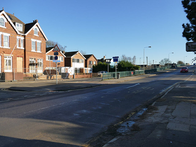
Image: © Stephen Craven Taken: 19 Jan 2020
The old road (left) led to a level crossing and was replaced in the 1960s with a bridge (right). There is signage here for cycle routes to the University, City Centre and river Trent.
Images are licensed for reuse under creativecommons.org/licenses/by-sa/2.0
Image Location
Latitude
52.921747
Longitude
-1.208383