River Irwell, Blackfriars Bridge
Introduction
The photograph on this page of River Irwell, Blackfriars Bridge by David Dixon as part of the Geograph project.
The Geograph project started in 2005 with the aim of publishing, organising and preserving representative images for every square kilometre of Great Britain, Ireland and the Isle of Man.

There are currently over 7.5m images from over 14,400 individuals and you can help contribute to the project by visiting https://www.geograph.org.uk
River Irwell, Blackfriars Bridge
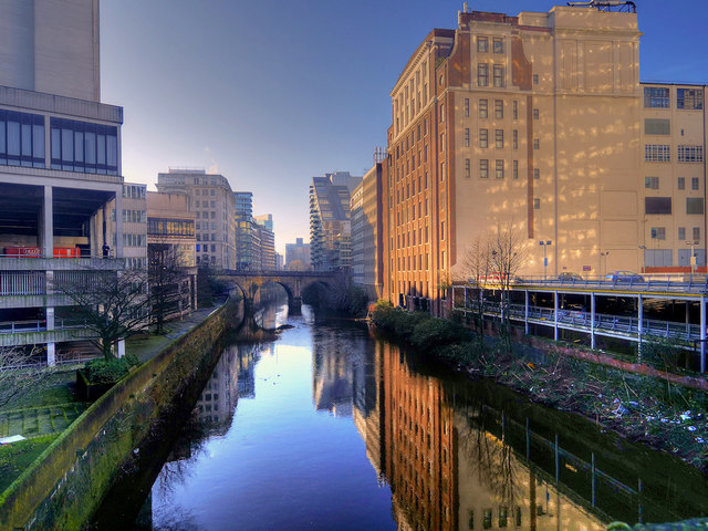
Image: © David Dixon Taken: 19 Jan 2020
A view from Victoria Bridge, along the Irwell, towards Blackfriars Bridge. The Irwell is the traditional boundary between the cities of Manchester and Salford. Blackfriars Bridge was opened in 1820 to connect Salford with Manchester city centre. It is a Grade II listed structure (Historic England List Entry Number: 1279490 https://historicengland.org.uk/listing/the-list/list-entry/1279490 ).
Images are licensed for reuse under creativecommons.org/licenses/by-sa/2.0
Image Location
Latitude
53.48377
Longitude
-2.248003