Retford Thrumpton signal box viewed from the low-level station
Introduction
The photograph on this page of Retford Thrumpton signal box viewed from the low-level station by John Lucas as part of the Geograph project.
The Geograph project started in 2005 with the aim of publishing, organising and preserving representative images for every square kilometre of Great Britain, Ireland and the Isle of Man.

There are currently over 7.5m images from over 14,400 individuals and you can help contribute to the project by visiting https://www.geograph.org.uk
Retford Thrumpton signal box viewed from the low-level station
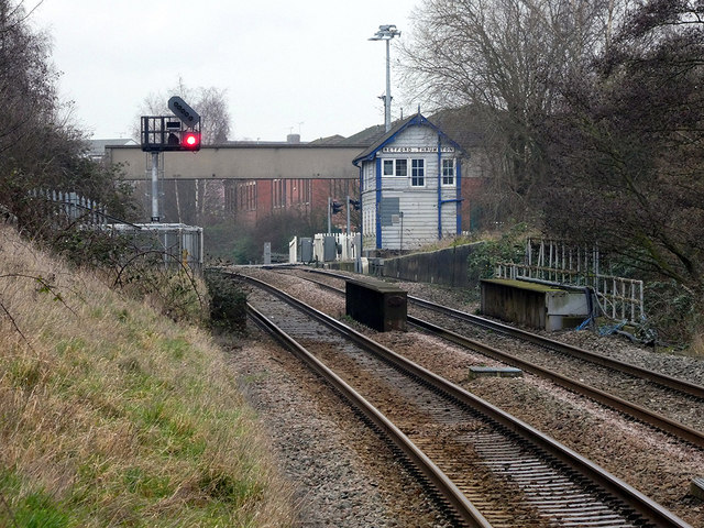
Image: © John Lucas Taken: 22 Jan 2020
The box is an unlikely survivor but is fully modernised internally. A history can be found here http://signalboxes.com/thrumpton-old-signalling.php
Images are licensed for reuse under creativecommons.org/licenses/by-sa/2.0
Image Location
Latitude
53.31466
Longitude
-0.941006