Wedgnock Green, north Warwick
Introduction
The photograph on this page of Wedgnock Green, north Warwick by Robin Stott as part of the Geograph project.
The Geograph project started in 2005 with the aim of publishing, organising and preserving representative images for every square kilometre of Great Britain, Ireland and the Isle of Man.

There are currently over 7.5m images from over 14,400 individuals and you can help contribute to the project by visiting https://www.geograph.org.uk
Wedgnock Green, north Warwick
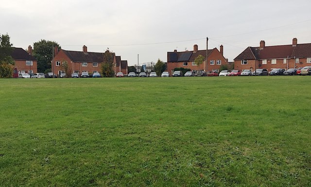
Image: © Robin Stott Taken: 30 Oct 2019
The estate, mostly complete, first appears on an OS map of 1925, a council estate implanted into farmland on the northwest edge of the town. The principal access was from Cape Road; a secondary access was from Millers Lane, the future Millers Road. The latter was extended east by 1938 but not connected to Lakin Road and Coventry Road until about 1970.
Images are licensed for reuse under creativecommons.org/licenses/by-sa/2.0
Image Location
Latitude
52.28954
Longitude
-1.591942