Bridleway at Uppend, near Manuden
Introduction
The photograph on this page of Bridleway at Uppend, near Manuden by Malc McDonald as part of the Geograph project.
The Geograph project started in 2005 with the aim of publishing, organising and preserving representative images for every square kilometre of Great Britain, Ireland and the Isle of Man.

There are currently over 7.5m images from over 14,400 individuals and you can help contribute to the project by visiting https://www.geograph.org.uk
Bridleway at Uppend, near Manuden
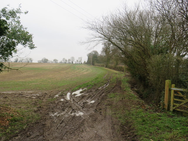
Image: © Malc McDonald Taken: 25 Jan 2020
A bridleway leading into a field at Uppend, in countryside near the Essex/Hertfordshire border.
Images are licensed for reuse under creativecommons.org/licenses/by-sa/2.0
Image Location
Latitude
51.915407
Longitude
0.134592