Eastern entrance to Robin Hood Chase
Introduction
The photograph on this page of Eastern entrance to Robin Hood Chase by Stephen Craven as part of the Geograph project.
The Geograph project started in 2005 with the aim of publishing, organising and preserving representative images for every square kilometre of Great Britain, Ireland and the Isle of Man.

There are currently over 7.5m images from over 14,400 individuals and you can help contribute to the project by visiting https://www.geograph.org.uk
Eastern entrance to Robin Hood Chase
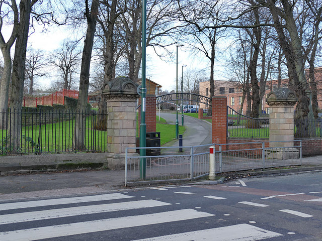
Image: © Stephen Craven Taken: 18 Jan 2020
The Chase is one of the areas comprising the 130 acres of land to the north and east of Nottingham city centre set aside by the 1845 Enclosure Act as public open space. The stone pillars look to be original, but the area either side of the linear open space was completely redeveloped from the 1970s.
Images are licensed for reuse under creativecommons.org/licenses/by-sa/2.0
Image Location
Latitude
52.961436
Longitude
-1.13739