Bridge over the River Stort, Manuden
Introduction
The photograph on this page of Bridge over the River Stort, Manuden by Malc McDonald as part of the Geograph project.
The Geograph project started in 2005 with the aim of publishing, organising and preserving representative images for every square kilometre of Great Britain, Ireland and the Isle of Man.

There are currently over 7.5m images from over 14,400 individuals and you can help contribute to the project by visiting https://www.geograph.org.uk
Bridge over the River Stort, Manuden
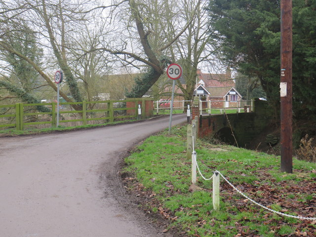
Image: © Malc McDonald Taken: 25 Jan 2020
A small bridge carrying Pinchpools Road over the River Stort at Manuden, in north Essex. Road signs indicate the speed limit changes to 30 miles per hour as the road enters the village. The road forms part of the route of National Cycle Network route 11.
Images are licensed for reuse under creativecommons.org/licenses/by-sa/2.0
Image Location
Latitude
51.919209
Longitude
0.167638