Carter's Hill, Manuden
Introduction
The photograph on this page of Carter's Hill, Manuden by Malc McDonald as part of the Geograph project.
The Geograph project started in 2005 with the aim of publishing, organising and preserving representative images for every square kilometre of Great Britain, Ireland and the Isle of Man.

There are currently over 7.5m images from over 14,400 individuals and you can help contribute to the project by visiting https://www.geograph.org.uk
Carter's Hill, Manuden
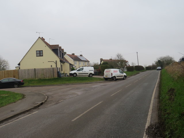
Image: © Malc McDonald Taken: 25 Jan 2020
Carter's Hill, heading out of the village of Manuden into the north Essex countryside. This road forms part of the route of National Cycle Network route 11.
Images are licensed for reuse under creativecommons.org/licenses/by-sa/2.0
Image Location


Leaflet Map data © OpenStreetMap
Latitude
51.914354
Longitude
0.16755