Penn Road in Wolverhampton
Introduction
The photograph on this page of Penn Road in Wolverhampton by Roger Kidd as part of the Geograph project.
The Geograph project started in 2005 with the aim of publishing, organising and preserving representative images for every square kilometre of Great Britain, Ireland and the Isle of Man.

There are currently over 7.5m images from over 14,400 individuals and you can help contribute to the project by visiting https://www.geograph.org.uk
Penn Road in Wolverhampton
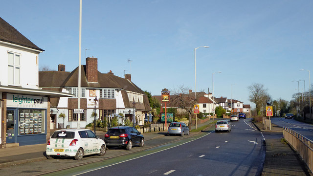
Image: © Roger Kidd Taken: 20 Jan 2020
This is the A449 Penn Road, looking north-east towards Wolverhampton city centre. The Roebuck public house is on the left, and Muchll Park is off to the right.
Images are licensed for reuse under creativecommons.org/licenses/by-sa/2.0
Image Location


Leaflet Map data © OpenStreetMap
Latitude
52.560925
Longitude
-2.153074