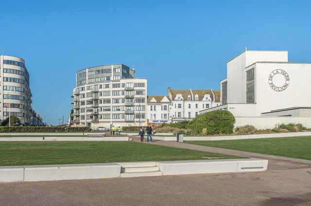
De La Warr Heights
Introduction
The photograph on this page of De La Warr Heights by Ian Capper as part of the Geograph project.
The Geograph project started in 2005 with the aim of publishing, organising and preserving representative images for every square kilometre of Great Britain, Ireland and the Isle of Man.
There are currently over 7.5m images from over 14,400 individuals and you can help contribute to the project by visiting https://www.geograph.org.uk

Image: © Ian Capper Taken: 18 Jan 2020
Looking across Metropole Lawns to De La Warr Heights, the tall building in the centre of the photo. De La Warr Heights was built in 2007-8, designed by the firm Faulkner Associates. On the left is part of The Landmark, built in 2009-11, designed by the firm Bisset Adams. On the right is the end of the De La Warr Pavilion - see Image The area at the back of Metropole Lawns was once the site of the Metropole Hotel, opened in 1900 but fell derelict after bomb damaged in 1941, eventually being demolished in 1955.

