Helpringham's spire across the fields
Introduction
The photograph on this page of Helpringham's spire across the fields by Bob Harvey as part of the Geograph project.
The Geograph project started in 2005 with the aim of publishing, organising and preserving representative images for every square kilometre of Great Britain, Ireland and the Isle of Man.

There are currently over 7.5m images from over 14,400 individuals and you can help contribute to the project by visiting https://www.geograph.org.uk
Helpringham's spire across the fields
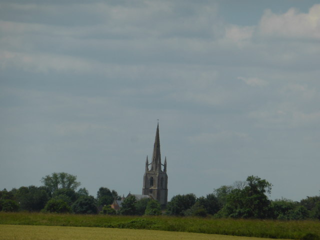
Image: © Bob Harvey Taken: 3 Jul 2019
A view of the distant spire of St Andrew's Church. I remain convinced that the variety and height of church Spires and Towers was a navigation aid
Images are licensed for reuse under creativecommons.org/licenses/by-sa/2.0
Image Location
Latitude
52.952148
Longitude
-0.306844