West Road, Annfield Plain
Introduction
The photograph on this page of West Road, Annfield Plain by Robert Graham as part of the Geograph project.
The Geograph project started in 2005 with the aim of publishing, organising and preserving representative images for every square kilometre of Great Britain, Ireland and the Isle of Man.

There are currently over 7.5m images from over 14,400 individuals and you can help contribute to the project by visiting https://www.geograph.org.uk
West Road, Annfield Plain
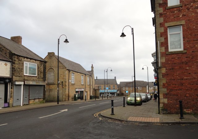
Image: © Robert Graham Taken: 6 Jan 2020
This is the east end of West Road, where it joins Front Street. This part of the village is basically Edwardian, built from about 1900 up to the start of WW1 in 1914.
Images are licensed for reuse under creativecommons.org/licenses/by-sa/2.0
Image Location
Latitude
54.857829
Longitude
-1.738272