Revelopment at Colwall
Introduction
The photograph on this page of Revelopment at Colwall by Philip Halling as part of the Geograph project.
The Geograph project started in 2005 with the aim of publishing, organising and preserving representative images for every square kilometre of Great Britain, Ireland and the Isle of Man.

There are currently over 7.5m images from over 14,400 individuals and you can help contribute to the project by visiting https://www.geograph.org.uk
Revelopment at Colwall
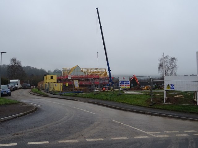
Image: © Philip Halling Taken: 24 Jan 2020
Photographing this building site I naturally assumed it was developing greenbelt land, a look on Google Streetview and I discover this development is replacing housing probably dating from around the 1970s.
Images are licensed for reuse under creativecommons.org/licenses/by-sa/2.0
Image Location
Latitude
52.078866
Longitude
-2.360809