Homestead Avenue, Wall Meadow
Introduction
The photograph on this page of Homestead Avenue, Wall Meadow by Chris Allen as part of the Geograph project.
The Geograph project started in 2005 with the aim of publishing, organising and preserving representative images for every square kilometre of Great Britain, Ireland and the Isle of Man.

There are currently over 7.5m images from over 14,400 individuals and you can help contribute to the project by visiting https://www.geograph.org.uk
Homestead Avenue, Wall Meadow
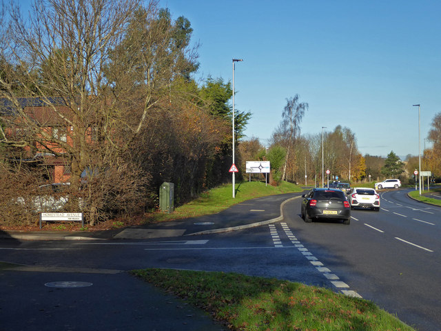
Image: © Chris Allen Taken: 1 Dec 2019
This show the junction of Homestead Avenue (which passes out of view to the left) with the B4638 Woodgreen Road. In the distance the roundabout marks the junction with the B4639.
Images are licensed for reuse under creativecommons.org/licenses/by-sa/2.0
Image Location
Latitude
52.211262
Longitude
-2.179528