Kixley footbridge
Introduction
The photograph on this page of Kixley footbridge by Tim Glover as part of the Geograph project.
The Geograph project started in 2005 with the aim of publishing, organising and preserving representative images for every square kilometre of Great Britain, Ireland and the Isle of Man.

There are currently over 7.5m images from over 14,400 individuals and you can help contribute to the project by visiting https://www.geograph.org.uk
Kixley footbridge
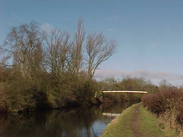
Image: © Tim Glover Taken: 2 Feb 2000
Grand Union Canal, number 72A. A datestone in the abutments indicates 1913 while the deck is dated 1982.
Images are licensed for reuse under creativecommons.org/licenses/by-sa/2.0
Image Location
Latitude
52.394576
Longitude
-1.727498