Surviving wing of the largely demolished former Downe Hospital at Downpatrick
Introduction
The photograph on this page of Surviving wing of the largely demolished former Downe Hospital at Downpatrick by Eric Jones as part of the Geograph project.
The Geograph project started in 2005 with the aim of publishing, organising and preserving representative images for every square kilometre of Great Britain, Ireland and the Isle of Man.

There are currently over 7.5m images from over 14,400 individuals and you can help contribute to the project by visiting https://www.geograph.org.uk
Surviving wing of the largely demolished former Downe Hospital at Downpatrick
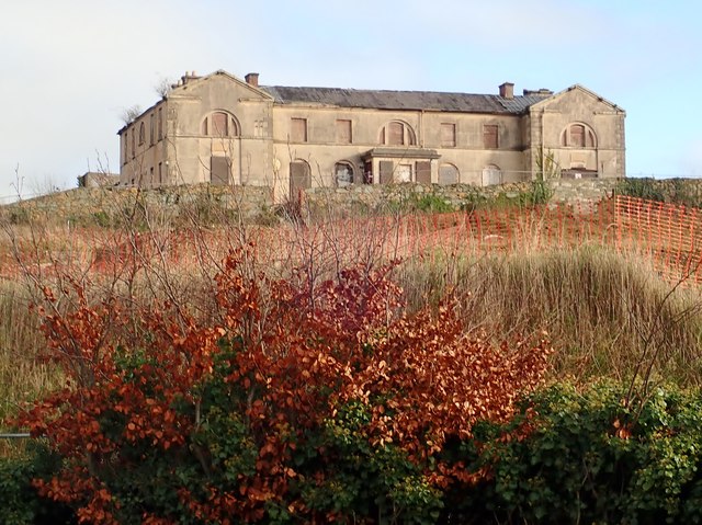
Image: © Eric Jones Taken: 23 Jan 2020
Images are licensed for reuse under creativecommons.org/licenses/by-sa/2.0
Image Location
Latitude
54.32344
Longitude
-5.710664