Green area in Harley-Whitefort
Introduction
The photograph on this page of Green area in Harley-Whitefort by Chris Allen as part of the Geograph project.
The Geograph project started in 2005 with the aim of publishing, organising and preserving representative images for every square kilometre of Great Britain, Ireland and the Isle of Man.

There are currently over 7.5m images from over 14,400 individuals and you can help contribute to the project by visiting https://www.geograph.org.uk
Green area in Harley-Whitefort
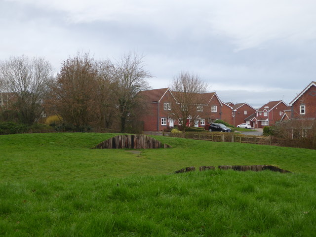
Image: © Chris Allen Taken: 9 Jan 2020
The houses beyond are on Trevithick Close. One of several green areas within Warndon Villages, mostly close to paths through or separating various 'villages'.
Images are licensed for reuse under creativecommons.org/licenses/by-sa/2.0
Image Location
Latitude
52.198053
Longitude
-2.175378