Baysgarth Park, Barton-upon-Humber
Introduction
The photograph on this page of Baysgarth Park, Barton-upon-Humber by Jonathan Billinger as part of the Geograph project.
The Geograph project started in 2005 with the aim of publishing, organising and preserving representative images for every square kilometre of Great Britain, Ireland and the Isle of Man.

There are currently over 7.5m images from over 14,400 individuals and you can help contribute to the project by visiting https://www.geograph.org.uk
Baysgarth Park, Barton-upon-Humber
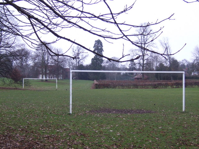
Image: © Jonathan Billinger Taken: 21 Dec 2007
Baysgarth Park in Barton Upon Humber is thirty acres of recreational space off Brigg Road to the south of the town. Baysgarth House, just visible , contains Baysgarth Museum which illustrates the history, archaeology, flora and fauna of the district.
Images are licensed for reuse under creativecommons.org/licenses/by-sa/2.0
Image Location
Latitude
53.679597
Longitude
-0.438754