De La Warr Parade
Introduction
The photograph on this page of De La Warr Parade by Ian Capper as part of the Geograph project.
The Geograph project started in 2005 with the aim of publishing, organising and preserving representative images for every square kilometre of Great Britain, Ireland and the Isle of Man.

There are currently over 7.5m images from over 14,400 individuals and you can help contribute to the project by visiting https://www.geograph.org.uk
De La Warr Parade
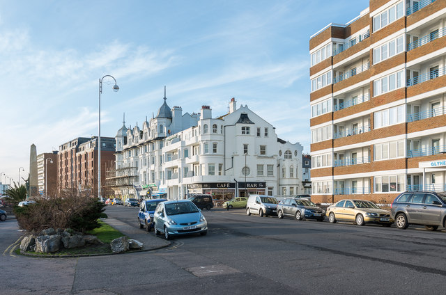
Image: © Ian Capper Taken: 18 Jan 2020
Looking along De La Warr Parade towards its junction with Sea Road before it turns into Marina beyond. On the left is Bexhill War Memorial - see Image The block of flats on the right is Glyne Hall, built in the 1970s.
Images are licensed for reuse under creativecommons.org/licenses/by-sa/2.0
Image Location
Latitude
50.838126
Longitude
0.476621