Ffens ar Fynydd Marchywel / Fence on Mynydd Marchywel
Introduction
The photograph on this page of Ffens ar Fynydd Marchywel / Fence on Mynydd Marchywel by Alan Richards as part of the Geograph project.
The Geograph project started in 2005 with the aim of publishing, organising and preserving representative images for every square kilometre of Great Britain, Ireland and the Isle of Man.

There are currently over 7.5m images from over 14,400 individuals and you can help contribute to the project by visiting https://www.geograph.org.uk
Ffens ar Fynydd Marchywel / Fence on Mynydd Marchywel
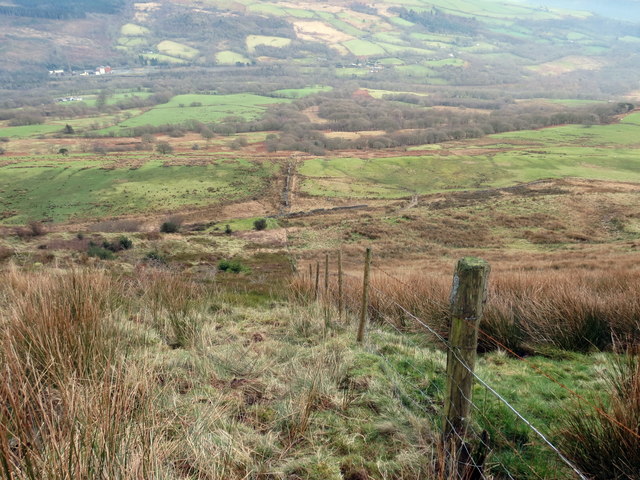
Image: © Alan Richards Taken: 22 Jan 2020
Ffens derfyn planhigfa goniferaidd ar lethrau Mynydd Marchywel. Conifer plantation boundary fence on the slopes of Mynydd Marchywel (trans. Marchywel's mountain).
Images are licensed for reuse under creativecommons.org/licenses/by-sa/2.0
Image Location
Latitude
51.716038
Longitude
-3.784025