View from field beside Great Close Lane at junction with track to Boostagill
Introduction
The photograph on this page of View from field beside Great Close Lane at junction with track to Boostagill by Luke Shaw as part of the Geograph project.
The Geograph project started in 2005 with the aim of publishing, organising and preserving representative images for every square kilometre of Great Britain, Ireland and the Isle of Man.

There are currently over 7.5m images from over 14,400 individuals and you can help contribute to the project by visiting https://www.geograph.org.uk
View from field beside Great Close Lane at junction with track to Boostagill
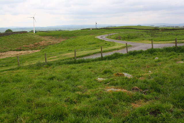
Image: © Luke Shaw Taken: 18 May 2019
Ordnance Survey records indicate there was a benchmark on a rock near the fence: see www.bench-marks.org.uk/bm115345
Images are licensed for reuse under creativecommons.org/licenses/by-sa/2.0
Image Location
Latitude
54.026537
Longitude
-2.331213