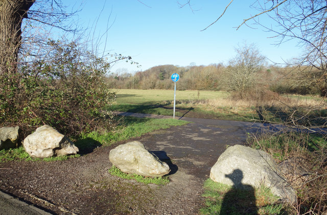
Half Moon Ground
Introduction
The photograph on this page of Half Moon Ground by Des Blenkinsopp as part of the Geograph project.
The Geograph project started in 2005 with the aim of publishing, organising and preserving representative images for every square kilometre of Great Britain, Ireland and the Isle of Man.
There are currently over 7.5m images from over 14,400 individuals and you can help contribute to the project by visiting https://www.geograph.org.uk

Image: © Des Blenkinsopp Taken: 19 Jan 2020
Part of the Seven Fields Nature Reserve, an area of old meadow and woodland which is a remnant of the former farmland of this area before suburban Swindon arrived. This entrance is off Kennet Avenue, a public road, hence the boulders to stop vehicle access. The far boundary of the field follows the meander of a stream giving a roughly semi-circular shape, hence the name.

