Westbound M4
Introduction
The photograph on this page of Westbound M4 by Robin Webster as part of the Geograph project.
The Geograph project started in 2005 with the aim of publishing, organising and preserving representative images for every square kilometre of Great Britain, Ireland and the Isle of Man.

There are currently over 7.5m images from over 14,400 individuals and you can help contribute to the project by visiting https://www.geograph.org.uk
Westbound M4
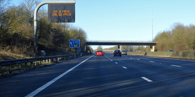
Image: © Robin Webster Taken: 19 Jan 2020
Ramsbury Road crosses the bridge, Membury services are just beyond.
Images are licensed for reuse under creativecommons.org/licenses/by-sa/2.0
Image Location
Latitude
51.479309
Longitude
-1.551258