10a Channel View
Introduction
The photograph on this page of 10a Channel View by Ian Capper as part of the Geograph project.
The Geograph project started in 2005 with the aim of publishing, organising and preserving representative images for every square kilometre of Great Britain, Ireland and the Isle of Man.

There are currently over 7.5m images from over 14,400 individuals and you can help contribute to the project by visiting https://www.geograph.org.uk
10a Channel View
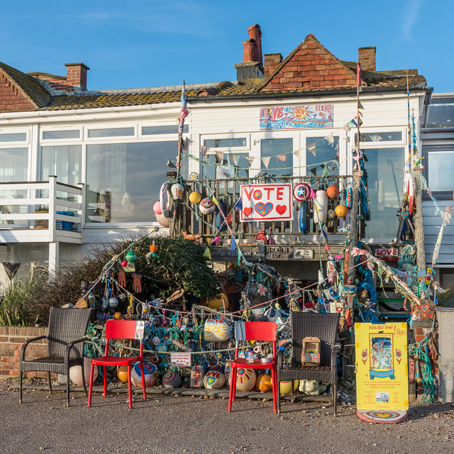
Image: © Ian Capper Taken: 18 Jan 2020
An eye-catching display outside 10a Channel View, in a row of houses on the promenade alongside the beach at Bexhill, one of a group dating from 1901-8.
Images are licensed for reuse under creativecommons.org/licenses/by-sa/2.0
Image Location


Leaflet Map data © OpenStreetMap
Latitude
50.837342
Longitude
0.475826