Farmland near Churston
Introduction
The photograph on this page of Farmland near Churston by Derek Harper as part of the Geograph project.
The Geograph project started in 2005 with the aim of publishing, organising and preserving representative images for every square kilometre of Great Britain, Ireland and the Isle of Man.

There are currently over 7.5m images from over 14,400 individuals and you can help contribute to the project by visiting https://www.geograph.org.uk
Farmland near Churston
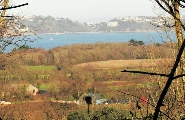
Image: © Derek Harper Taken: 19 Jan 2020
A glimpse from Barn Copse in Lupton Park of fields, barns, the line of the dismantled railway line from Brixham, and coastal woodland, to Tor Bay, and the white block of Kilmorie nearly 8 km away.
Images are licensed for reuse under creativecommons.org/licenses/by-sa/2.0
Image Location
Latitude
50.392829
Longitude
-3.536202