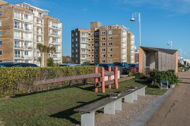
West Parade Promenade
Introduction
The photograph on this page of West Parade Promenade by Ian Capper as part of the Geograph project.
The Geograph project started in 2005 with the aim of publishing, organising and preserving representative images for every square kilometre of Great Britain, Ireland and the Isle of Man.
There are currently over 7.5m images from over 14,400 individuals and you can help contribute to the project by visiting https://www.geograph.org.uk

Image: © Ian Capper Taken: 18 Jan 2020
Promenade along West Parade. In the background are the some of the "West Indies" flats, so called because each block is named after a West Indies island - these two are called St Thomas (on the left) and Tobago (beyond). On the right is one of four identical shelters on this stretch of the promenade designed by Duggan Morris Architects, as part of the improvements to the seafront carried out by HTA Landscape Designs in 2010-11, which also included so-called playable elements along the grass and planted strip, as seen here.

