Flooding on Sally Deards Lane
Introduction
The photograph on this page of Flooding on Sally Deards Lane by Humphrey Bolton as part of the Geograph project.
The Geograph project started in 2005 with the aim of publishing, organising and preserving representative images for every square kilometre of Great Britain, Ireland and the Isle of Man.

There are currently over 7.5m images from over 14,400 individuals and you can help contribute to the project by visiting https://www.geograph.org.uk
Flooding on Sally Deards Lane
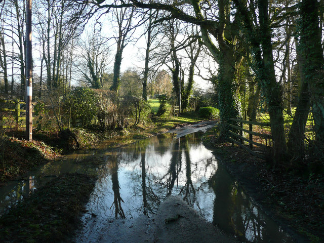
Image: © Humphrey Bolton Taken: 15 Jan 2020
There had evidently been very heavy rain in the previous day or two.
Images are licensed for reuse under creativecommons.org/licenses/by-sa/2.0
Image Location
Latitude
51.856646
Longitude
-0.213663