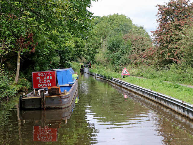
Canal maintenance north-east of Stoke-on-Trent
Introduction
The photograph on this page of Canal maintenance north-east of Stoke-on-Trent by Roger Kidd as part of the Geograph project.
The Geograph project started in 2005 with the aim of publishing, organising and preserving representative images for every square kilometre of Great Britain, Ireland and the Isle of Man.
There are currently over 7.5m images from over 14,400 individuals and you can help contribute to the project by visiting https://www.geograph.org.uk

Image: © Roger Kidd Taken: 12 Sep 2019
Looking north as the Caldon Canal meanders towards Milton, Stockton Brook, Endon, Cheddleton and Froghall. The canal passes through a long strip of deciduous woodland which includes the track bed of the disused railway between Caldon Low and Stoke (off to the left), and the slopes down to the River Trent (off to the right). New metal piling is being installed by the towpath, but for now they've stopped for lunch!

