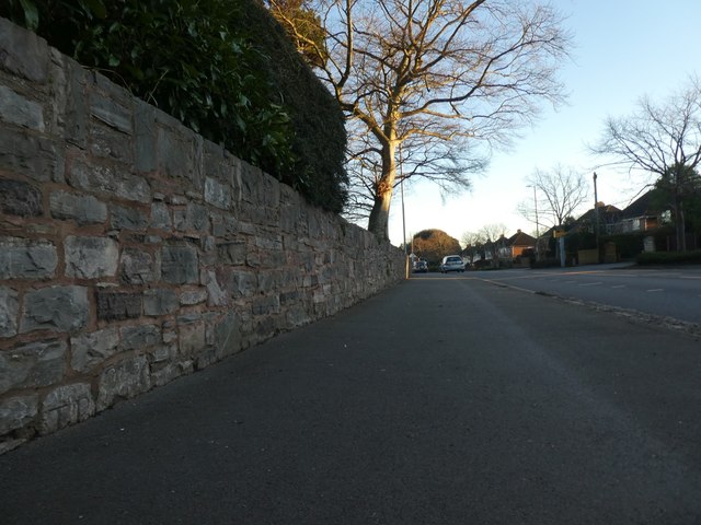
The wall of County Hall, Exeter, facing Topsham Road
Introduction
The photograph on this page of The wall of County Hall, Exeter, facing Topsham Road by David Smith as part of the Geograph project.
The Geograph project started in 2005 with the aim of publishing, organising and preserving representative images for every square kilometre of Great Britain, Ireland and the Isle of Man.
There are currently over 7.5m images from over 14,400 individuals and you can help contribute to the project by visiting https://www.geograph.org.uk

Image: © David Smith Taken: 19 Jan 2020
On the extreme left of the picture is a boundary stone, inscribed T.P.. The wall has been reconstructed (possibly at the time that the Devon County Council offices were built in the 1960s) and this stone is in the position marked as B.S. on the 1890 O.S. map. However, there does not appear to be an administrative or ecclesiastical boundary here on the 1755 map of the area.

