Pedestrian path at Hook End, near Doddinghurst
Introduction
The photograph on this page of Pedestrian path at Hook End, near Doddinghurst by Malc McDonald as part of the Geograph project.
The Geograph project started in 2005 with the aim of publishing, organising and preserving representative images for every square kilometre of Great Britain, Ireland and the Isle of Man.

There are currently over 7.5m images from over 14,400 individuals and you can help contribute to the project by visiting https://www.geograph.org.uk
Pedestrian path at Hook End, near Doddinghurst
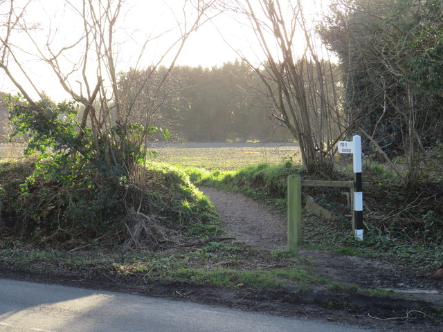
Image: © Malc McDonald Taken: 18 Jan 2020
A pedestrian path alongside Blackmore Road at Hook End, in the Essex countryside. This image was taken on a chilly but very sunny January afternoon. Trees were bare, the sun was low in the sky and shadows were long.
Images are licensed for reuse under creativecommons.org/licenses/by-sa/2.0
Image Location
Latitude
51.673802
Longitude
0.290846