Netley Station
Introduction
The photograph on this page of Netley Station by Mike Faherty as part of the Geograph project.
The Geograph project started in 2005 with the aim of publishing, organising and preserving representative images for every square kilometre of Great Britain, Ireland and the Isle of Man.

There are currently over 7.5m images from over 14,400 individuals and you can help contribute to the project by visiting https://www.geograph.org.uk
Netley Station
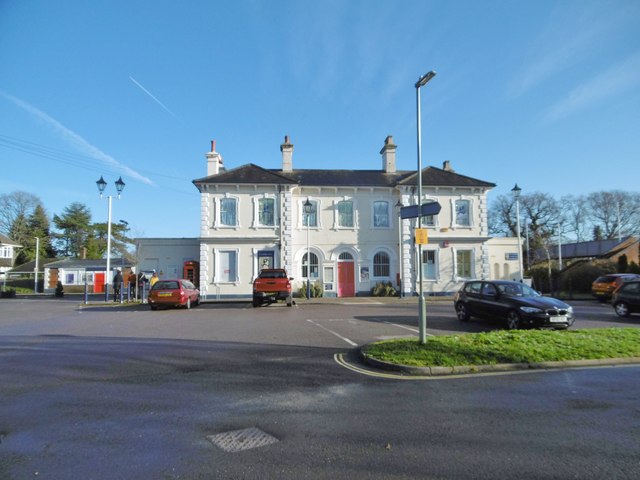
Image: © Mike Faherty Taken: 18 Jan 2020
At the end of Station Road; built c1867, Grade II listed by Historic England: https://historicengland.org.uk/listing/the-list/list-entry/1204612
Images are licensed for reuse under creativecommons.org/licenses/by-sa/2.0
Image Location
Latitude
50.874863
Longitude
-1.341903