The lane from Gillalees
Introduction
The photograph on this page of The lane from Gillalees by Oliver Dixon as part of the Geograph project.
The Geograph project started in 2005 with the aim of publishing, organising and preserving representative images for every square kilometre of Great Britain, Ireland and the Isle of Man.

There are currently over 7.5m images from over 14,400 individuals and you can help contribute to the project by visiting https://www.geograph.org.uk
The lane from Gillalees
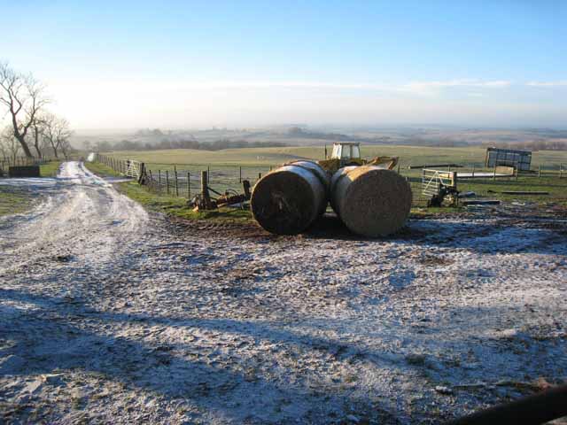
Image: © Oliver Dixon Taken: 20 Dec 2007
Straw bales and tractor. Looking south down the lane from Gillalees, a farm which stands at the end of the tarmac on what was once a through road over the moors from West Hall to Bewcastle.
Images are licensed for reuse under creativecommons.org/licenses/by-sa/2.0
Image Location
Latitude
55.03326
Longitude
-2.676159