Romsey Community School Rugby Pitch
Introduction
The photograph on this page of Romsey Community School Rugby Pitch by Rosemary Oakeshott as part of the Geograph project.
The Geograph project started in 2005 with the aim of publishing, organising and preserving representative images for every square kilometre of Great Britain, Ireland and the Isle of Man.

There are currently over 7.5m images from over 14,400 individuals and you can help contribute to the project by visiting https://www.geograph.org.uk
Romsey Community School Rugby Pitch
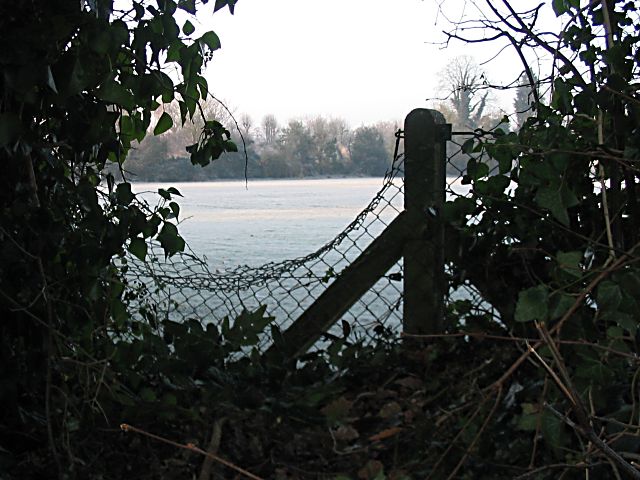
Image: © Rosemary Oakeshott Taken: 20 Dec 2007
There are 2 or 3 gaps in the hedge separating the footpath from the pitch where people have forced their way in.
Images are licensed for reuse under creativecommons.org/licenses/by-sa/2.0
Image Location
Latitude
50.992553
Longitude
-1.501251