Water Lane side of Red Five bar
Introduction
The photograph on this page of Water Lane side of Red Five bar by Brian Westlake as part of the Geograph project.
The Geograph project started in 2005 with the aim of publishing, organising and preserving representative images for every square kilometre of Great Britain, Ireland and the Isle of Man.

There are currently over 7.5m images from over 14,400 individuals and you can help contribute to the project by visiting https://www.geograph.org.uk
Water Lane side of Red Five bar
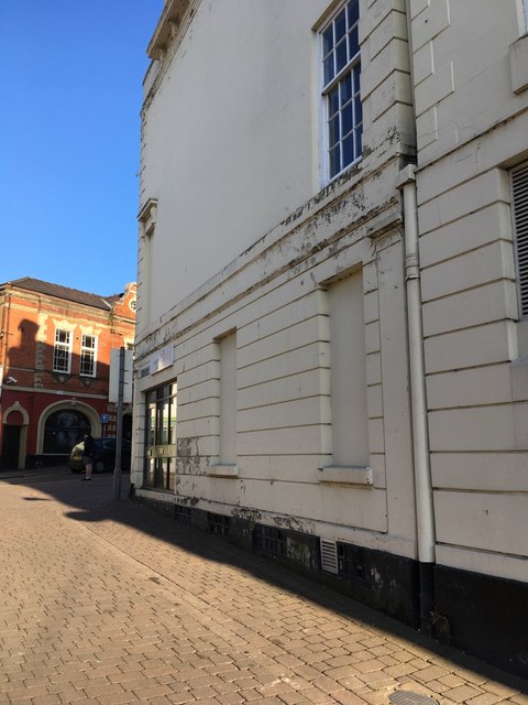
Image: © Brian Westlake Taken: 10 Jan 2020
There is a cut bench mark on the west face at the rear of the building, facing Water Lane. See https://www.geograph.org.uk/photo/6369884 for a closer view and https://www.bench-marks.org.uk/bm111581 for details of the mark.
Images are licensed for reuse under creativecommons.org/licenses/by-sa/2.0
Image Location
Latitude
53.229188
Longitude
-0.542228