Copthorne Road
Introduction
The photograph on this page of Copthorne Road by Ian Capper as part of the Geograph project.
The Geograph project started in 2005 with the aim of publishing, organising and preserving representative images for every square kilometre of Great Britain, Ireland and the Isle of Man.

There are currently over 7.5m images from over 14,400 individuals and you can help contribute to the project by visiting https://www.geograph.org.uk
Copthorne Road
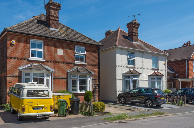
Image: © Ian Capper Taken: 4 Jul 2019
Named pairs of semi-detached cottages in the northern section of Copthorne Road, dating from when the road was first developed as a cul-de-sac off Barnett Wood Lane. On the left are Rosemary Cottages and on the right are Camellia Cottages. Both their name plaques also give a date, 1904.
Images are licensed for reuse under creativecommons.org/licenses/by-sa/2.0
Image Location
Latitude
51.3036
Longitude
-0.327521