Side road access to a house in Pantyffordd
Introduction
The photograph on this page of Side road access to a house in Pantyffordd by Jaggery as part of the Geograph project.
The Geograph project started in 2005 with the aim of publishing, organising and preserving representative images for every square kilometre of Great Britain, Ireland and the Isle of Man.

There are currently over 7.5m images from over 14,400 individuals and you can help contribute to the project by visiting https://www.geograph.org.uk
Side road access to a house in Pantyffordd
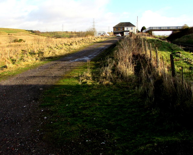
Image: © Jaggery Taken: 15 Jan 2020
From the west side of this https://www.geograph.org.uk/photo/6368708 level crossing.
Images are licensed for reuse under creativecommons.org/licenses/by-sa/2.0
Image Location
Latitude
51.777513
Longitude
-3.69498