Frith Park Farmhouse
Introduction
The photograph on this page of Frith Park Farmhouse by Ian Capper as part of the Geograph project.
The Geograph project started in 2005 with the aim of publishing, organising and preserving representative images for every square kilometre of Great Britain, Ireland and the Isle of Man.

There are currently over 7.5m images from over 14,400 individuals and you can help contribute to the project by visiting https://www.geograph.org.uk
Frith Park Farmhouse
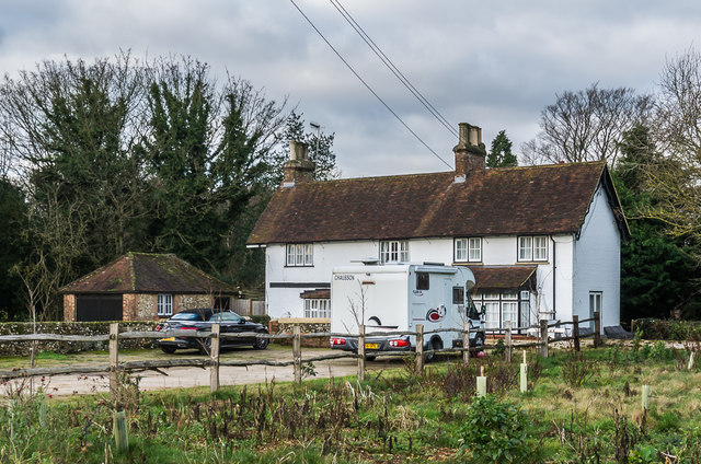
Image: © Ian Capper Taken: 10 Jan 2020
Farmhouse with the left end dating originally from the 16th Century, subsequently refaced and extended. Grade II listed - see www.historicengland.org.uk/listing/the-list/list-entry/1240676.
Images are licensed for reuse under creativecommons.org/licenses/by-sa/2.0
Image Location
Latitude
51.270612
Longitude
-0.256424