Eastern offshoot of High Arcal Road, the Straits
Introduction
The photograph on this page of Eastern offshoot of High Arcal Road, the Straits by Richard Vince as part of the Geograph project.
The Geograph project started in 2005 with the aim of publishing, organising and preserving representative images for every square kilometre of Great Britain, Ireland and the Isle of Man.

There are currently over 7.5m images from over 14,400 individuals and you can help contribute to the project by visiting https://www.geograph.org.uk
Eastern offshoot of High Arcal Road, the Straits
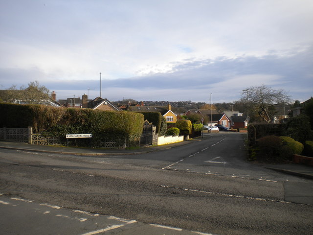
Image: © Richard Vince Taken: 4 Jan 2020
Linking the main part of High Arcal Road (foreground) with The Straits to form a triangle which was once used by buses terminating here.
Images are licensed for reuse under creativecommons.org/licenses/by-sa/2.0
Image Location


Leaflet Map data © OpenStreetMap
Latitude
52.525419
Longitude
-2.14956