Asthall House
Introduction
The photograph on this page of Asthall House by Philip Halling as part of the Geograph project.
The Geograph project started in 2005 with the aim of publishing, organising and preserving representative images for every square kilometre of Great Britain, Ireland and the Isle of Man.

There are currently over 7.5m images from over 14,400 individuals and you can help contribute to the project by visiting https://www.geograph.org.uk
Asthall House
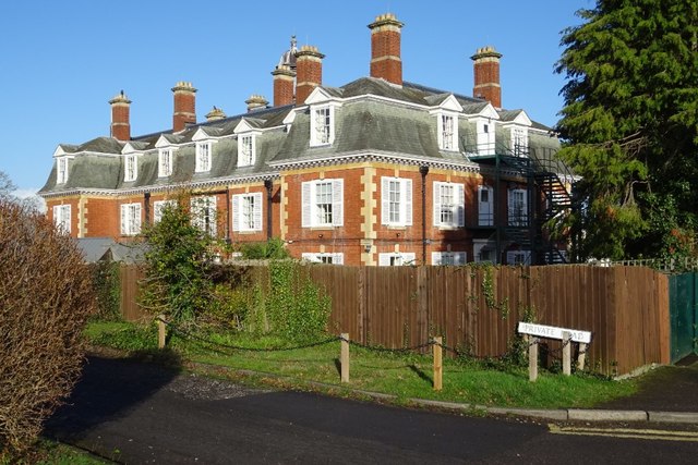
Image: © Philip Halling Taken: 15 Jan 2020
A rear view of Asthall House on Overton Park Road, the building is a residential care home. Curiously this house doesn't appear to be listed.
Images are licensed for reuse under creativecommons.org/licenses/by-sa/2.0
Image Location
Latitude
51.899124
Longitude
-2.086137