Former drill hall, Ackroyd Street, Morley
Introduction
The photograph on this page of Former drill hall, Ackroyd Street, Morley by Stephen Craven as part of the Geograph project.
The Geograph project started in 2005 with the aim of publishing, organising and preserving representative images for every square kilometre of Great Britain, Ireland and the Isle of Man.

There are currently over 7.5m images from over 14,400 individuals and you can help contribute to the project by visiting https://www.geograph.org.uk
Former drill hall, Ackroyd Street, Morley
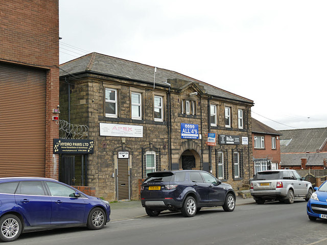
Image: © Stephen Craven Taken: 11 Jan 2020
Another contributor describes this as a former barracks Image but it seems too small for that, and the 1933 OS map identifies it as a drill hall. It's now home to several small businesses.
Images are licensed for reuse under creativecommons.org/licenses/by-sa/2.0
Image Location
Latitude
53.745991
Longitude
-1.598142