The Pines, near Chipstead
Introduction
The photograph on this page of The Pines, near Chipstead by Malc McDonald as part of the Geograph project.
The Geograph project started in 2005 with the aim of publishing, organising and preserving representative images for every square kilometre of Great Britain, Ireland and the Isle of Man.

There are currently over 7.5m images from over 14,400 individuals and you can help contribute to the project by visiting https://www.geograph.org.uk
The Pines, near Chipstead
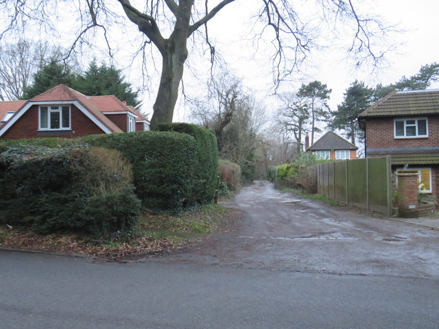
Image: © Malc McDonald Taken: 11 Jan 2020
A driveway named The Pines near Chipstead. The boundary of Surrey and Greater London runs to the left of The Pines. The road and the house to the right are in Greater London, the house behind the hedge to the left is in Surrey.
Images are licensed for reuse under creativecommons.org/licenses/by-sa/2.0
Image Location
Latitude
51.310254
Longitude
-0.15447