St Andrew's community hall, Bruntcliffe, Morley
Introduction
The photograph on this page of St Andrew's community hall, Bruntcliffe, Morley by Stephen Craven as part of the Geograph project.
The Geograph project started in 2005 with the aim of publishing, organising and preserving representative images for every square kilometre of Great Britain, Ireland and the Isle of Man.

There are currently over 7.5m images from over 14,400 individuals and you can help contribute to the project by visiting https://www.geograph.org.uk
St Andrew's community hall, Bruntcliffe, Morley
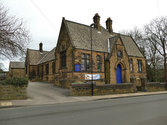
Image: © Stephen Craven Taken: 11 Jan 2020
Immediately to the north-east of the church building Image and originally opened as a Sunday School in 1895, four years after the church itself.
Images are licensed for reuse under creativecommons.org/licenses/by-sa/2.0
Image Location
Latitude
53.739668
Longitude
-1.615788