The Middlebank at one of its widest points
Introduction
The photograph on this page of The Middlebank at one of its widest points by Eric Jones as part of the Geograph project.
The Geograph project started in 2005 with the aim of publishing, organising and preserving representative images for every square kilometre of Great Britain, Ireland and the Isle of Man.

There are currently over 7.5m images from over 14,400 individuals and you can help contribute to the project by visiting https://www.geograph.org.uk
The Middlebank at one of its widest points
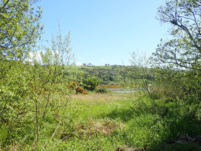
Image: © Eric Jones Taken: 12 May 2018
In many stretches the Middlebank is narrow with water on both sides lapping at the path. But here between the Newry Greenway and the Newry River is a wide expanse of grassland.
Images are licensed for reuse under creativecommons.org/licenses/by-sa/2.0
Image Location
Latitude
54.142513
Longitude
-6.318137