New Houses, Highleadon
Introduction
The photograph on this page of New Houses, Highleadon by Philip Halling as part of the Geograph project.
The Geograph project started in 2005 with the aim of publishing, organising and preserving representative images for every square kilometre of Great Britain, Ireland and the Isle of Man.

There are currently over 7.5m images from over 14,400 individuals and you can help contribute to the project by visiting https://www.geograph.org.uk
New Houses, Highleadon
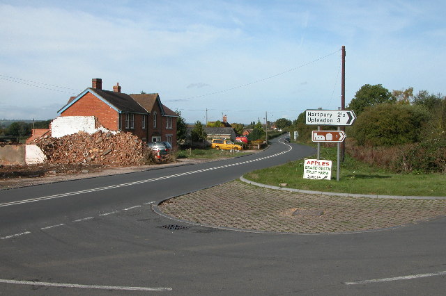
Image: © Philip Halling Taken: 9 Oct 2005
Road junction on the B4215 at Highleadon. The rubble is the remains of a demolished garage/filling station.
Images are licensed for reuse under creativecommons.org/licenses/by-sa/2.0
Image Location


Leaflet Map data © OpenStreetMap
Latitude
51.907214
Longitude
-2.336609